Animal Recovery Services
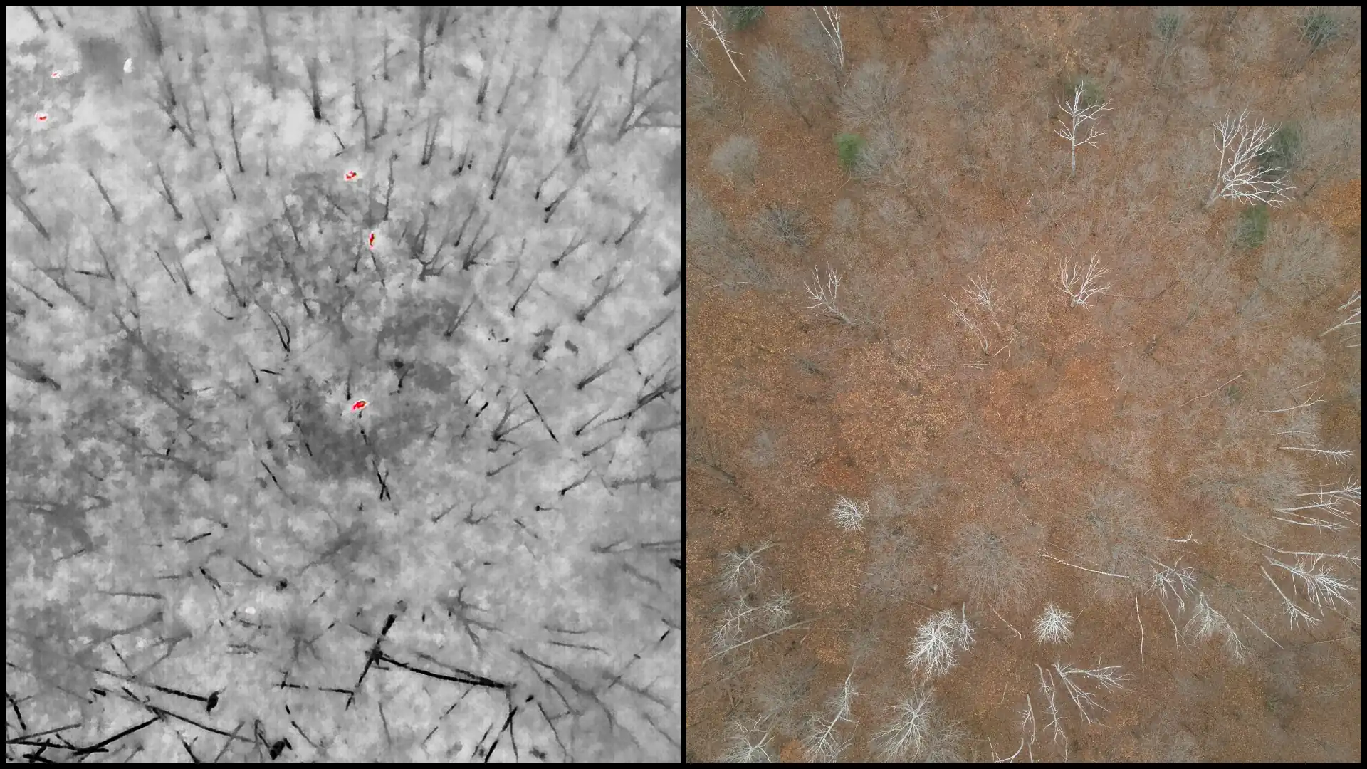
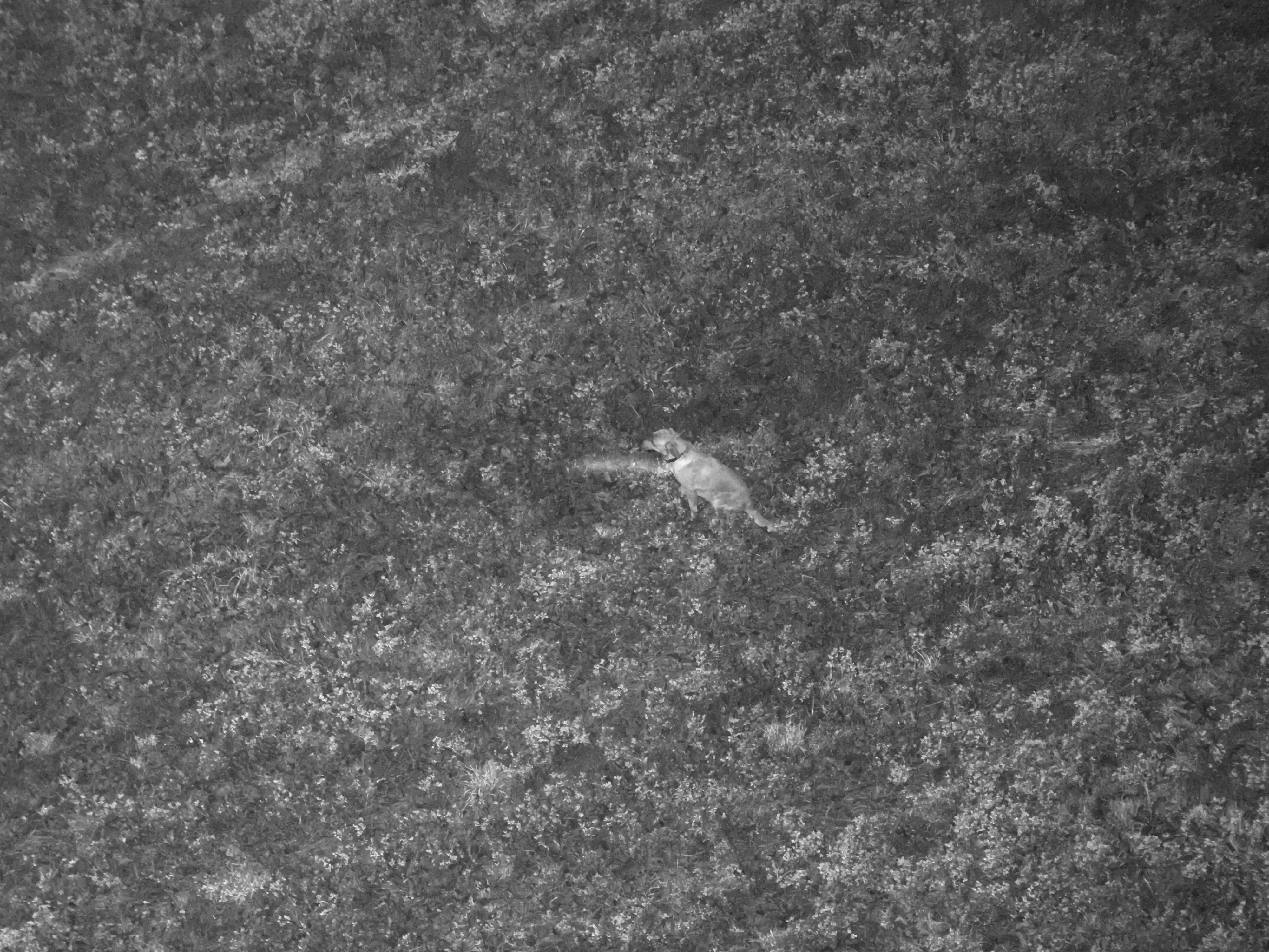
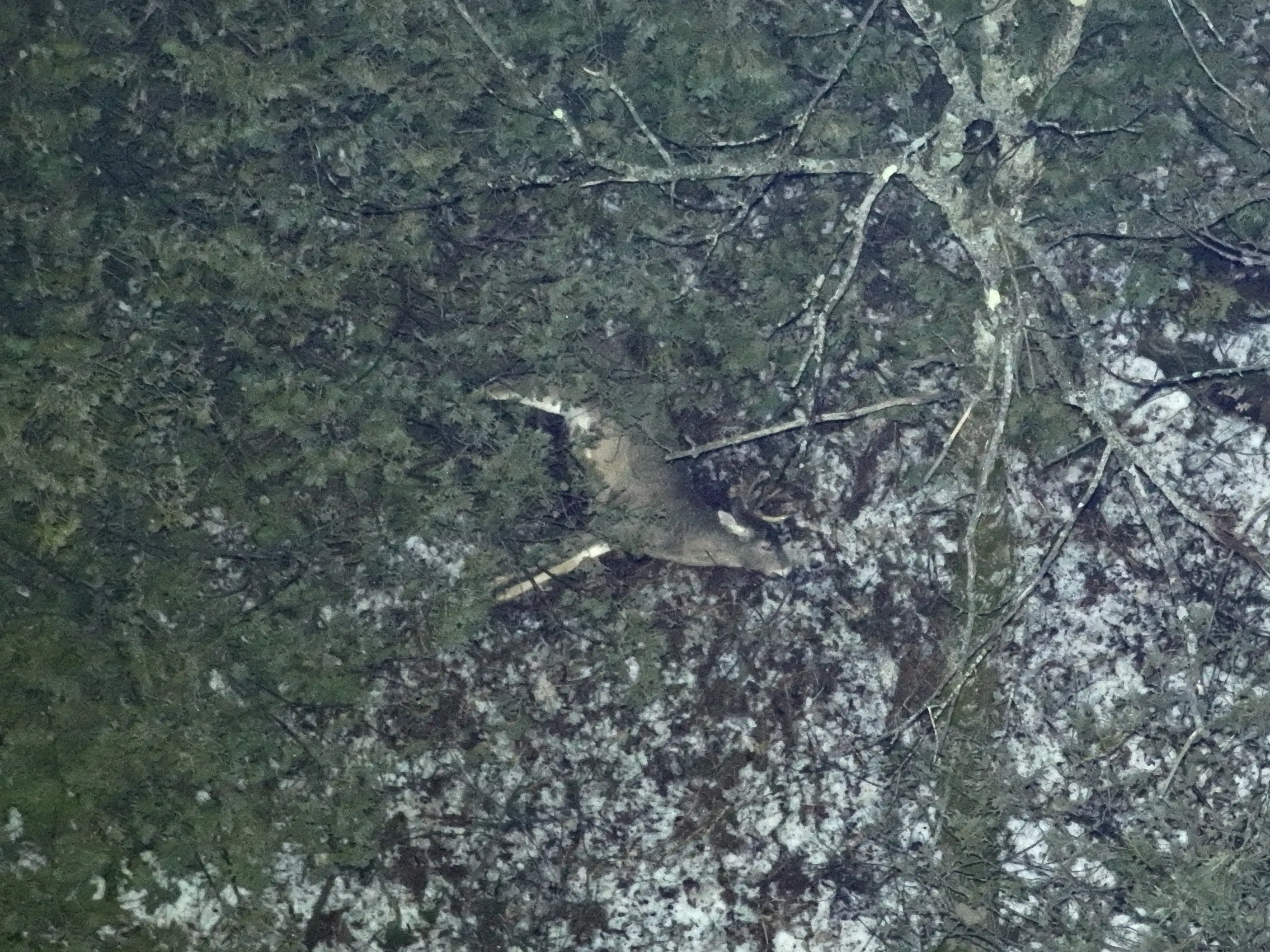
Using advanced thermal imaging, high-powered zoom cameras, and aerial lighting, we're able to detect what others can't. From above, our drones provide a clear vantage point that allows us to quickly locate and safely recover animals across a wide range of terrain. Thermal sensors help us identify heat signatures immediately, while the zoom camera confirms the type of animal from a safe distance. Once located, we can mark the exact position with a GPS tag and share it instantly for coordinated recovery.
Pet Recovery
- Thermal search for a missing pet
- Search scope and availability confirmed before booking
- Recovery is not guaranteed
Starting at $350
Deer Recovery
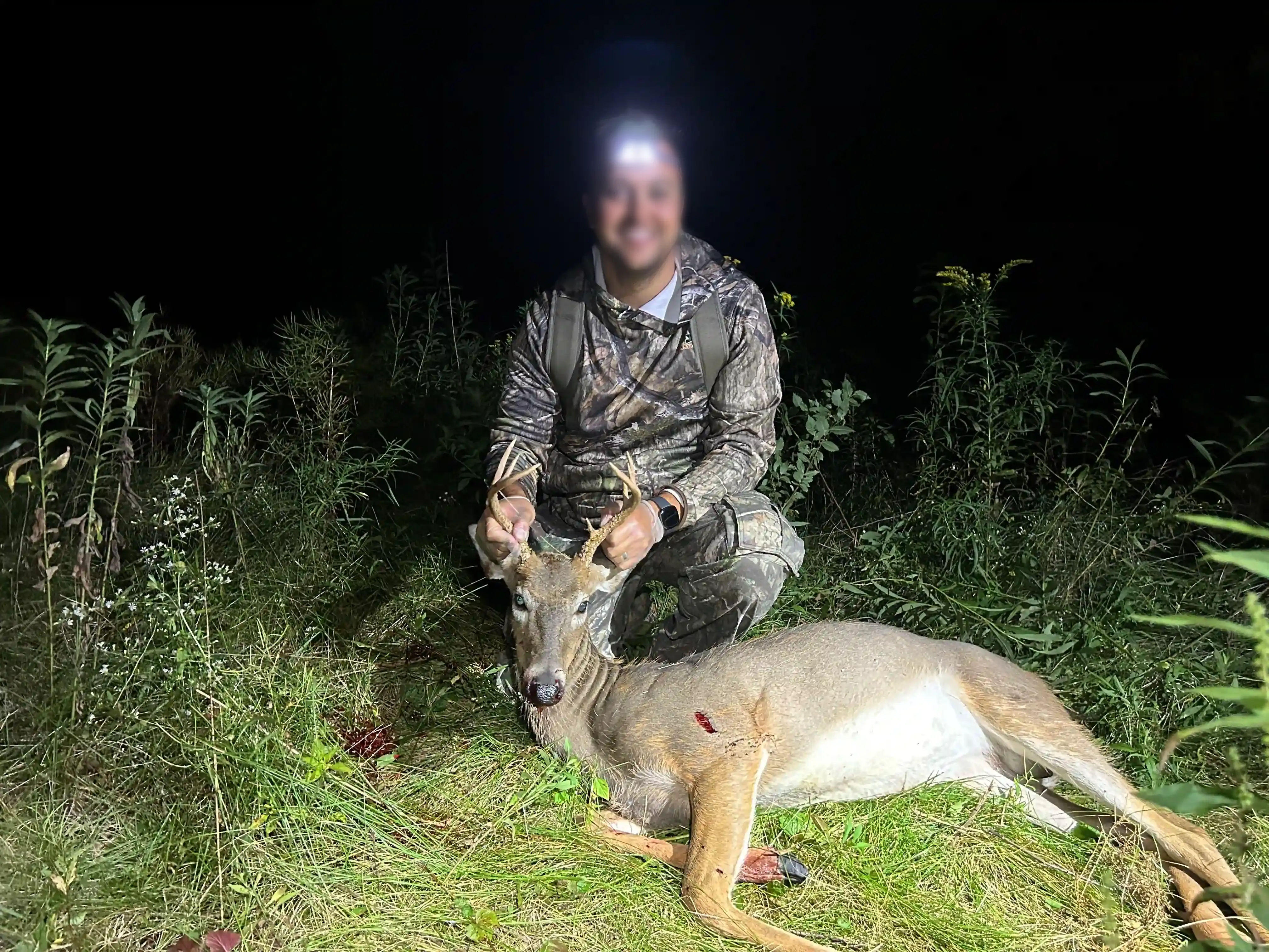
- Thermal search for a downed deer
- Search scope and availability confirmed before booking
- Recovery is not guaranteed
Starting at $250
Previous Deer Recovery Work
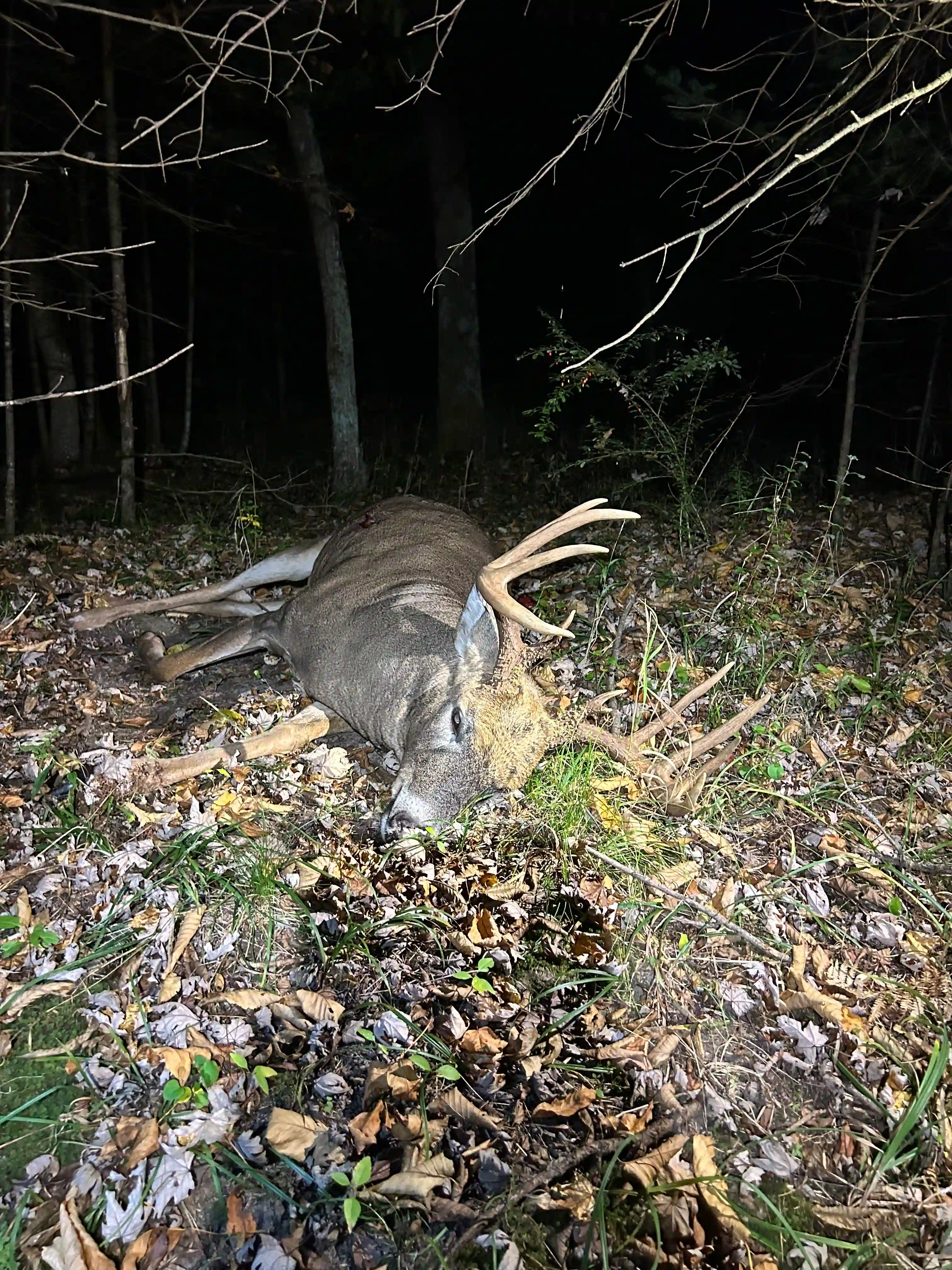
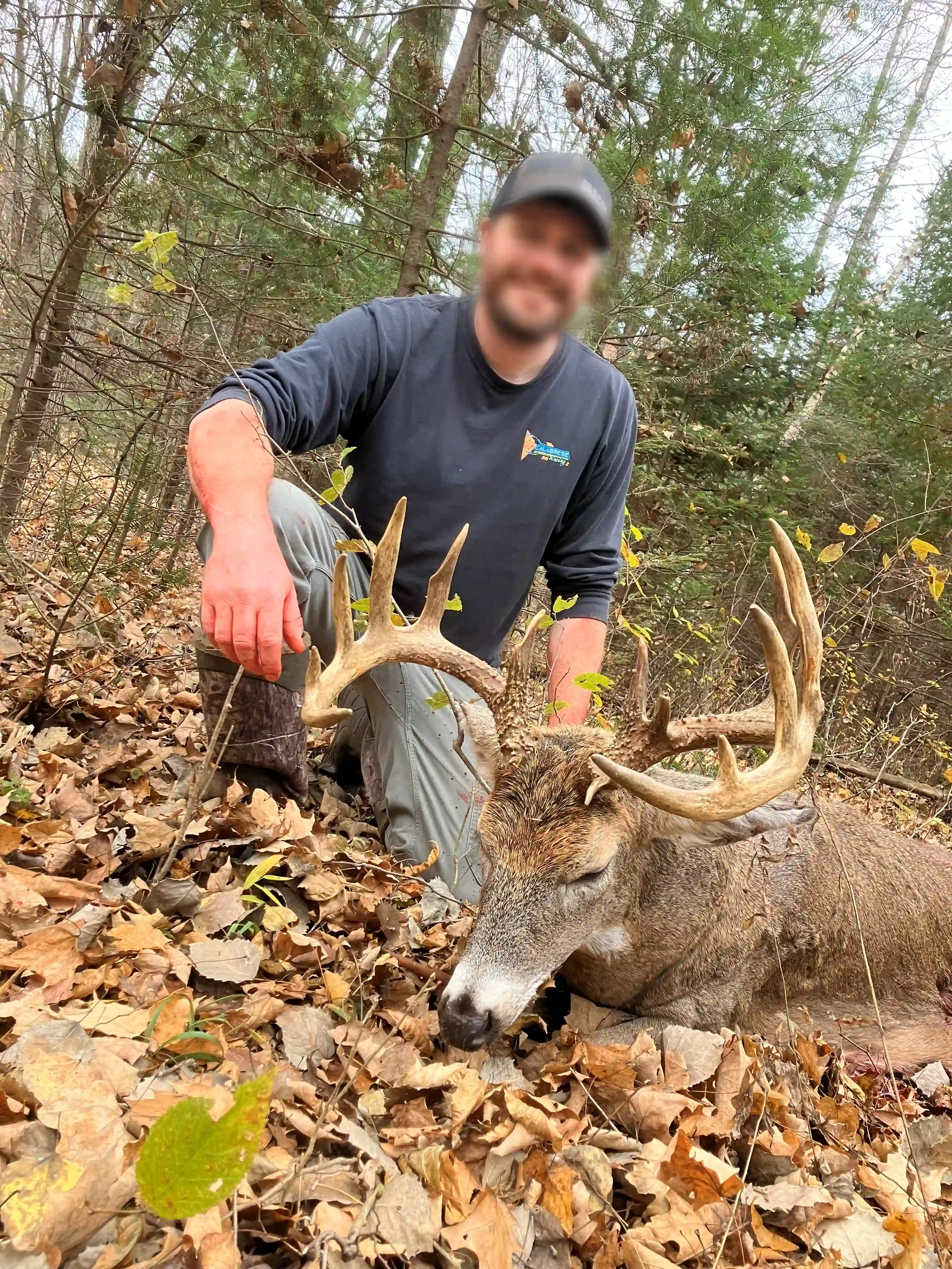
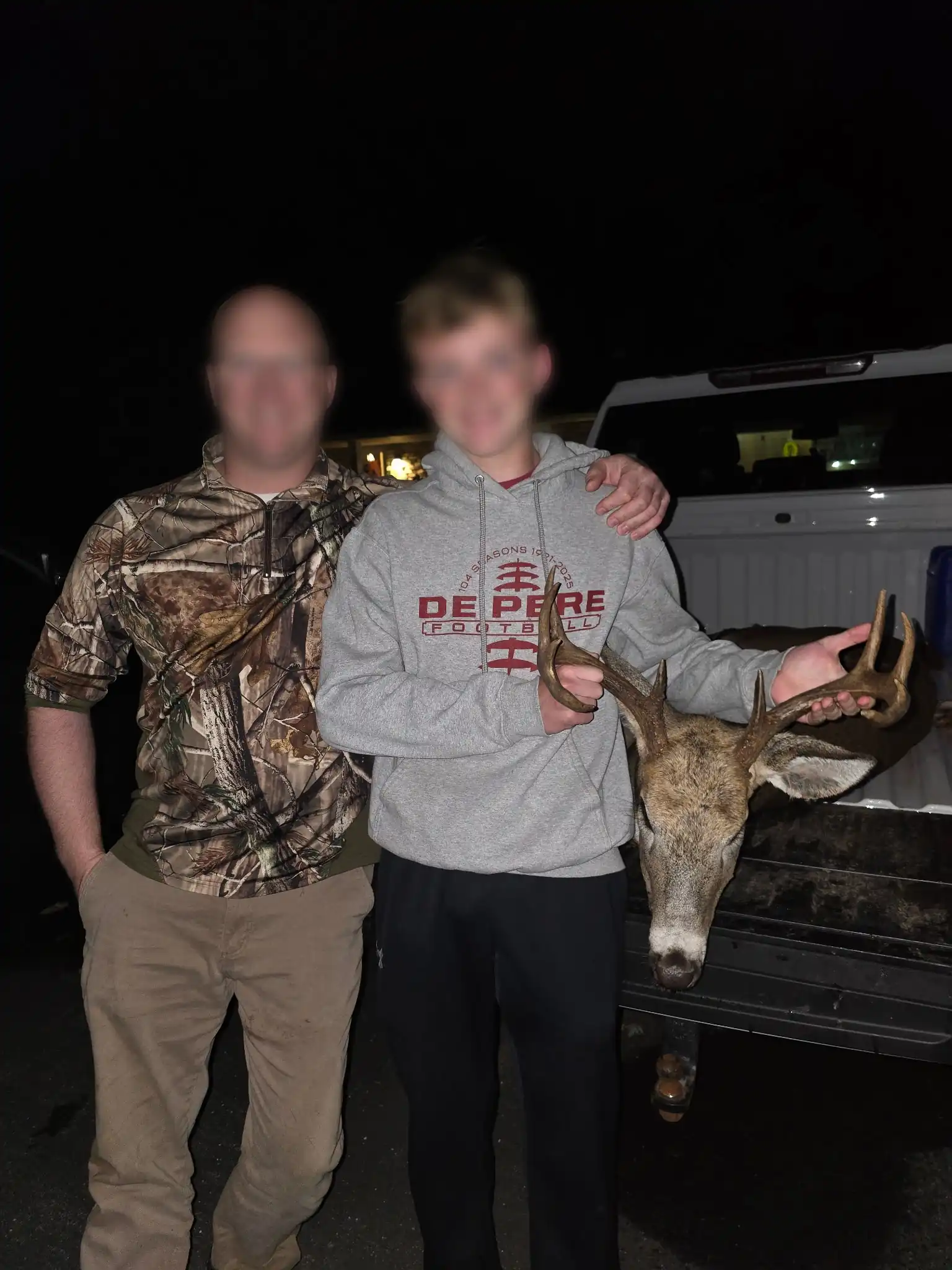
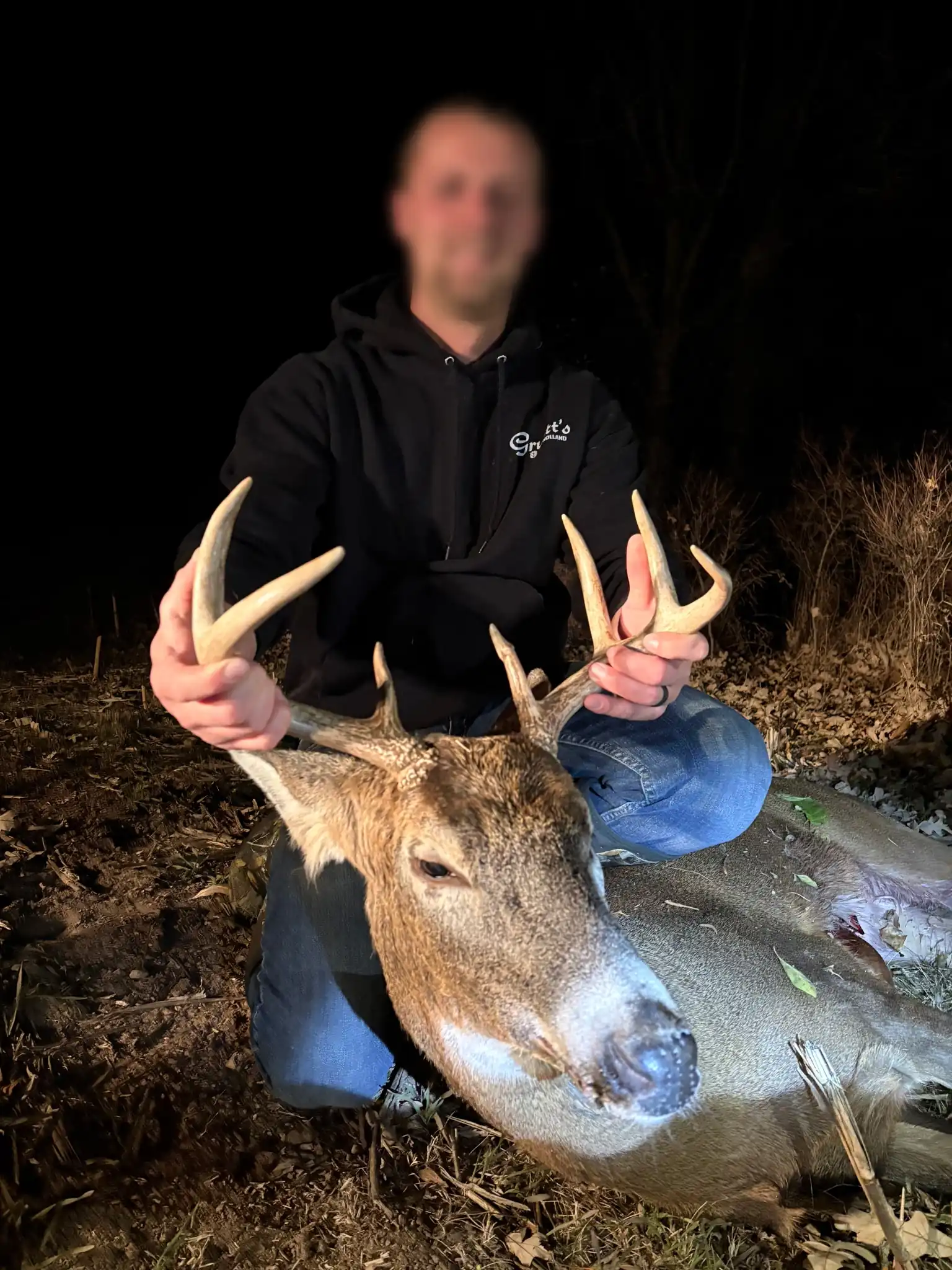
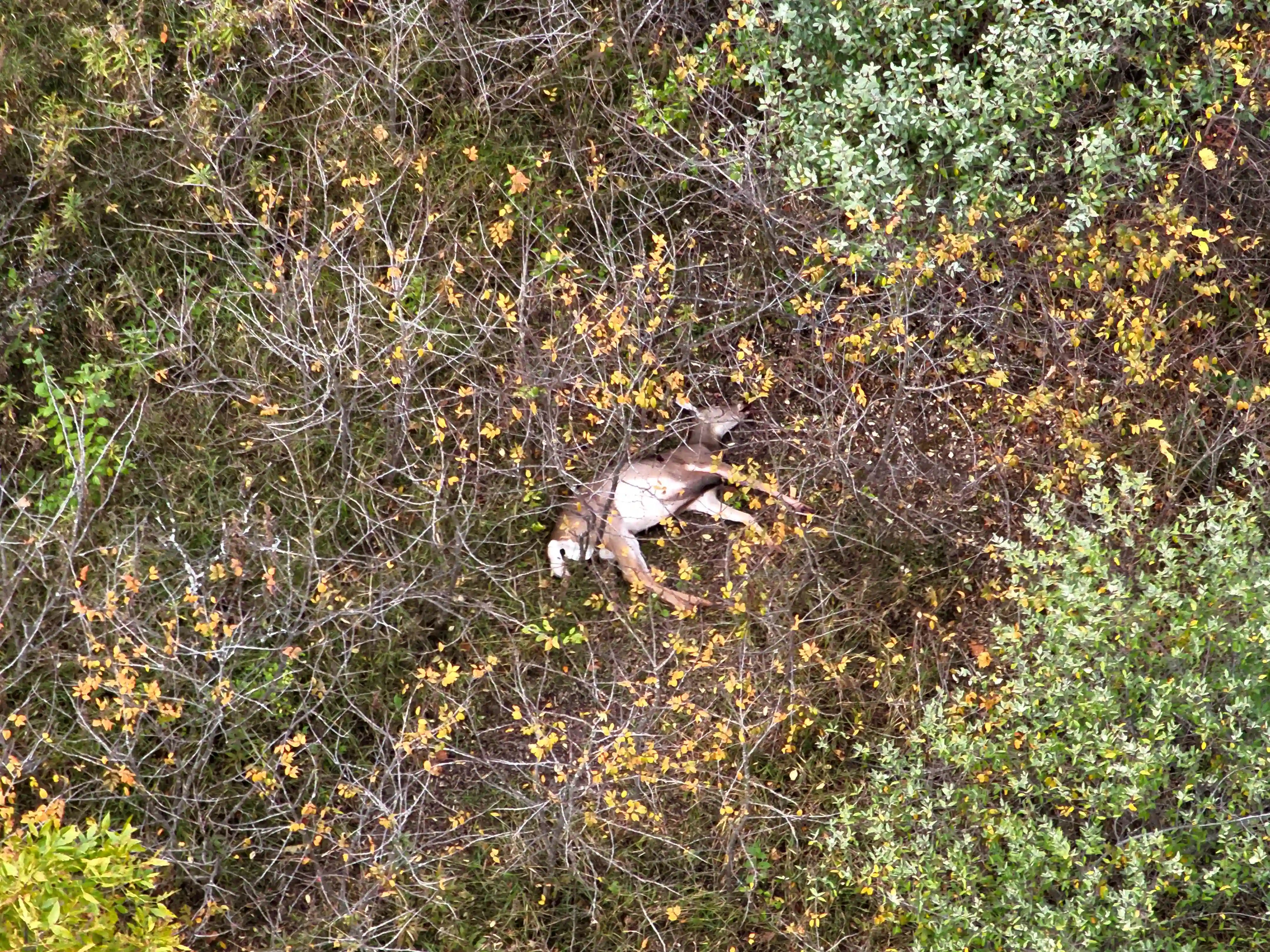
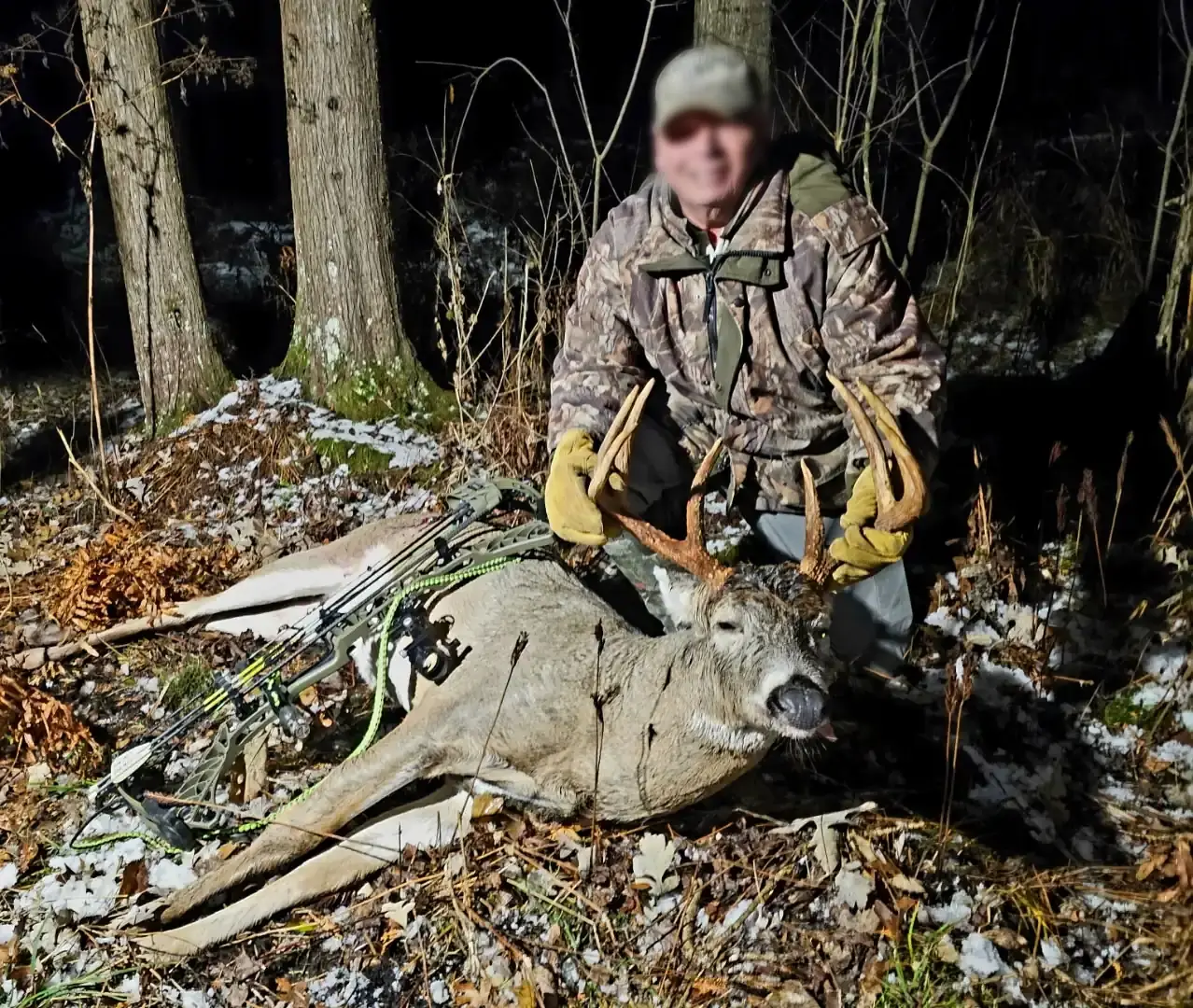
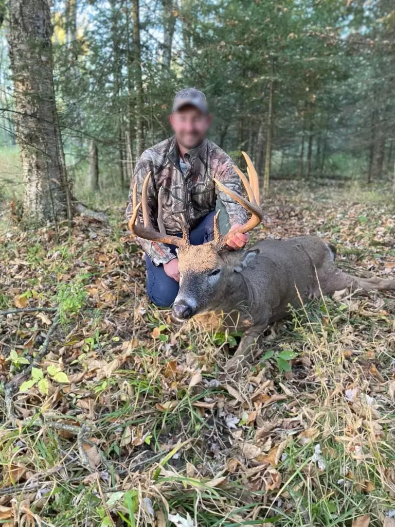
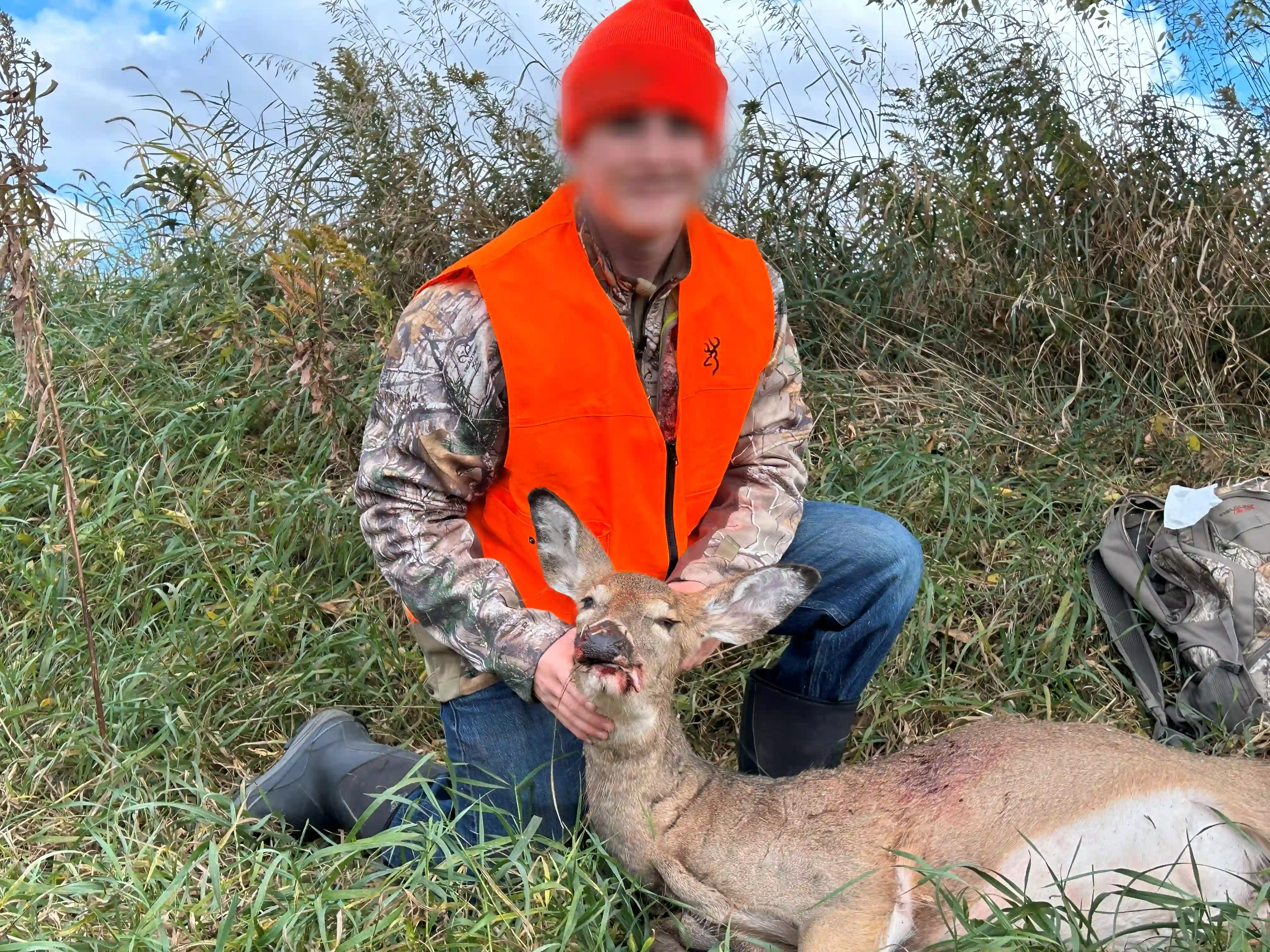
Starting prices reflect the listed package. Final pricing depends on project scope and location. Travel and additional work are quoted separately. Editing is included unless stated otherwise; airspace authorization is included, subject to approval. Any on-site labor minimum applies only to on-site work, not standalone packages.
Choose a package. Make it yours.
Choose the service and deliverables that fit your project. Request a quote to confirm scope, availability, travel, and final pricing before booking.