Construction Drone Mapping & Progress Tracking
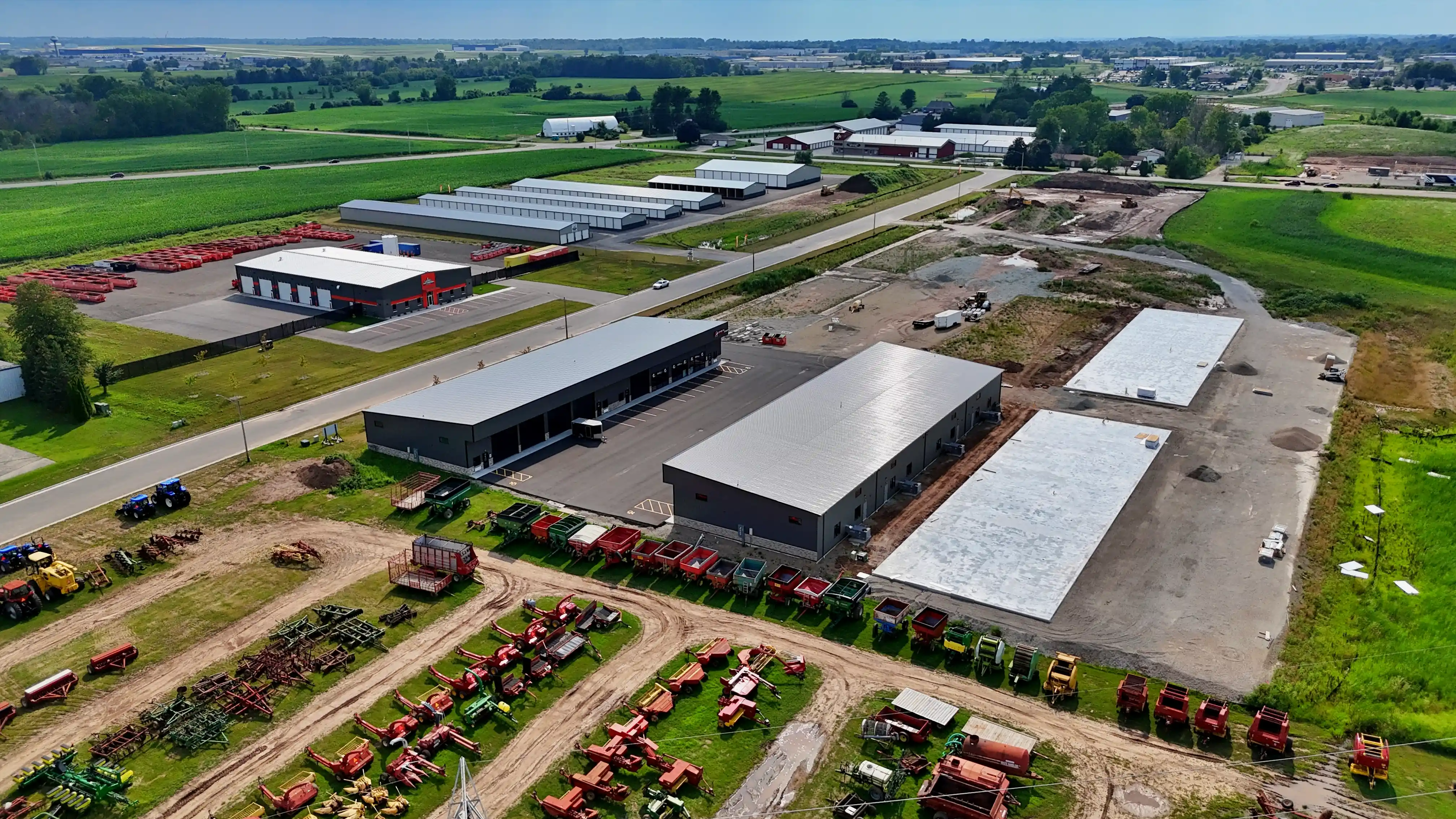
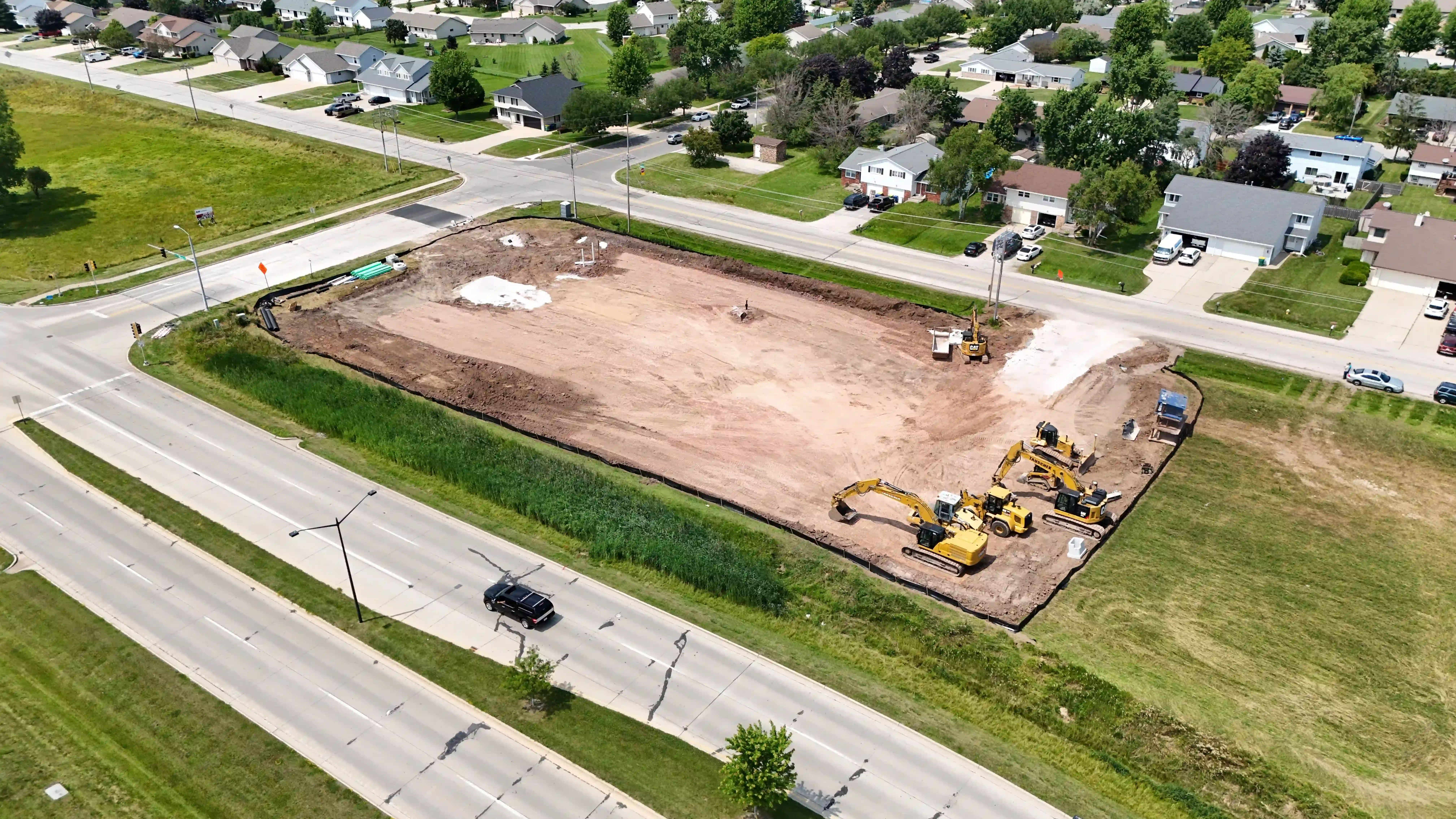
Monitor your project's progress with precise aerial imaging. Drone technology ensures real-time updates, allowing you to track milestones, ensure safety compliance, and maintain efficient workflows. Improve communication with stakeholders through clear, detailed visuals.
2D Map
- Base includes 10 acres
- Additional acreage quoted separately
- Informational mapping, not a certified survey
Starting at $250
3D Model
- Base includes 10 acres
- Additional acreage quoted separately
- Informational model, not a certified survey
Starting at $350
Time Lapse Construction Updates
Repeat flights from consistent viewpoints create a dependable visual timeline for long-term progress reporting and a polished final project story.
.webp)
LiDAR Aerial Mapping for Construction Sites
While photogrammetry excels at open construction sites, LiDAR penetrates vegetation and canopy to provide bare-earth terrain data. For wooded or vegetated construction sites, LiDAR delivers point clouds and terrain models that photogrammetry simply can't produce.
- Terrain mapping before grading — Get bare-earth surface models even through dense vegetation
- Vegetated site mapping — LiDAR penetrates tree canopy where photogrammetry can't see the ground
- Point cloud deliverables — Data in LAS/LAZ format for use in Civil 3D, ArcGIS, QGIS, and other GIS/CAD software
- Stockpile volume estimates — Track material quantities for project management
- As-built documentation — Document site conditions at each project milestone
All LiDAR data is provided for informational and planning purposes only. Ledge Top Drone Services is not a registered land surveyor or licensed photogrammetrist. Data should not be relied upon as a certified survey.
Starting prices reflect the listed package. Final pricing depends on project scope and location. Travel and additional work are quoted separately. Editing is included unless stated otherwise; airspace authorization is included, subject to approval. Any on-site labor minimum applies only to on-site work, not standalone packages.
Choose a package. Make it yours.
Choose the service and deliverables that fit your project. Request a quote to confirm scope, availability, travel, and final pricing before booking.