LiDAR Aerial Mapping in Wisconsin
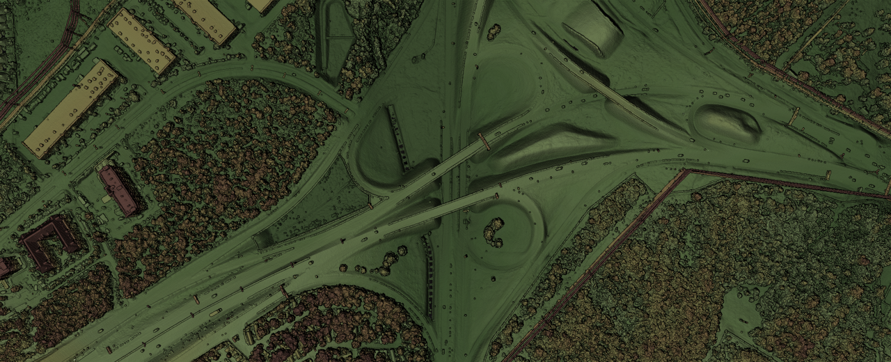
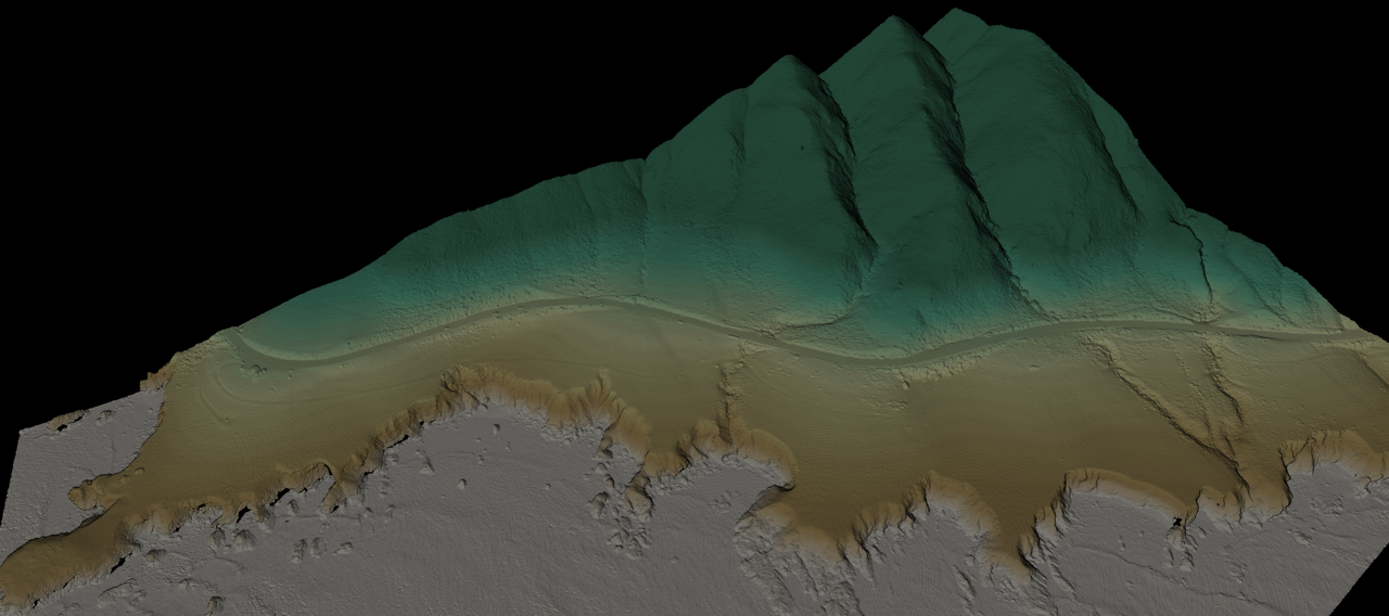
LiDAR uses laser pulses to create dense 3D point clouds of the ground and everything above it. Because the laser returns can penetrate gaps in vegetation and canopy, LiDAR is ideal for wooded sites, overgrown lots, and any project that needs accurate bare-earth terrain data.
What We Offer
- Aerial LiDAR data collection
- 3D point cloud generation
- Digital surface models (DSM)
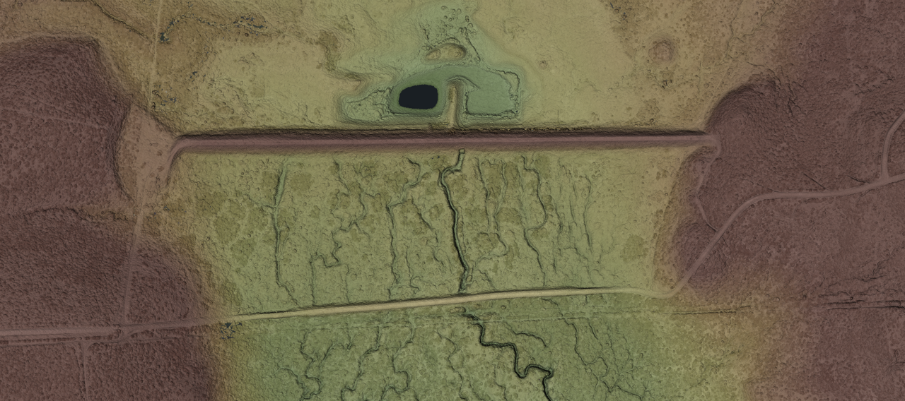
- Digital terrain models (DTM)
- Contour generation for site planning
- Stockpile volume estimates
- Construction site progress documentation
- Vegetation and canopy mapping
- Data delivery in LAS/LAZ/XYZ/GeoTIFF for Civil 3D, ArcGIS, and QGIS
Partnership with Flyover Drone Services
LiDAR services are offered in partnership with Flyover Drone Services. Together we bring combined expertise in aerial data collection and processing, so you get reliable deliverables from flight planning through final point cloud export.
LiDAR vs Photogrammetry
| LiDAR | Photogrammetry |
|---|---|
| Uses laser pulses to measure distance directly | Uses overlapping photos reconstructed into 3D |
| Penetrates gaps in vegetation and canopy for bare-earth terrain data | Best for exposed surfaces with good visual texture |
| Works in lower-light conditions | Needs consistent daylight and camera exposure |
| Excellent for wooded sites, forestry, and terrain modeling | Excellent for buildings, facades, and visual site models |
| Produces LAS/LAZ point clouds, DSM/DTM, contours | Produces orthophoto maps, 3D meshes, and visual models |
Both methods provide valuable aerial data for informational and planning purposes. We can help you choose the right approach for your site.
Construction Applications
- Pre-construction site modeling and existing conditions documentation
- Cut-and-fill volume calculations
- Stockpile estimates for aggregate and material yards
- Progress documentation across project milestones
- Drainage and grading analysis support
- As-built documentation and comparison to design files
Get a Free LiDAR Quote
Tell us about your site and we will recommend the right aerial mapping approach.
Get a Free Quote Call (920) 949-1651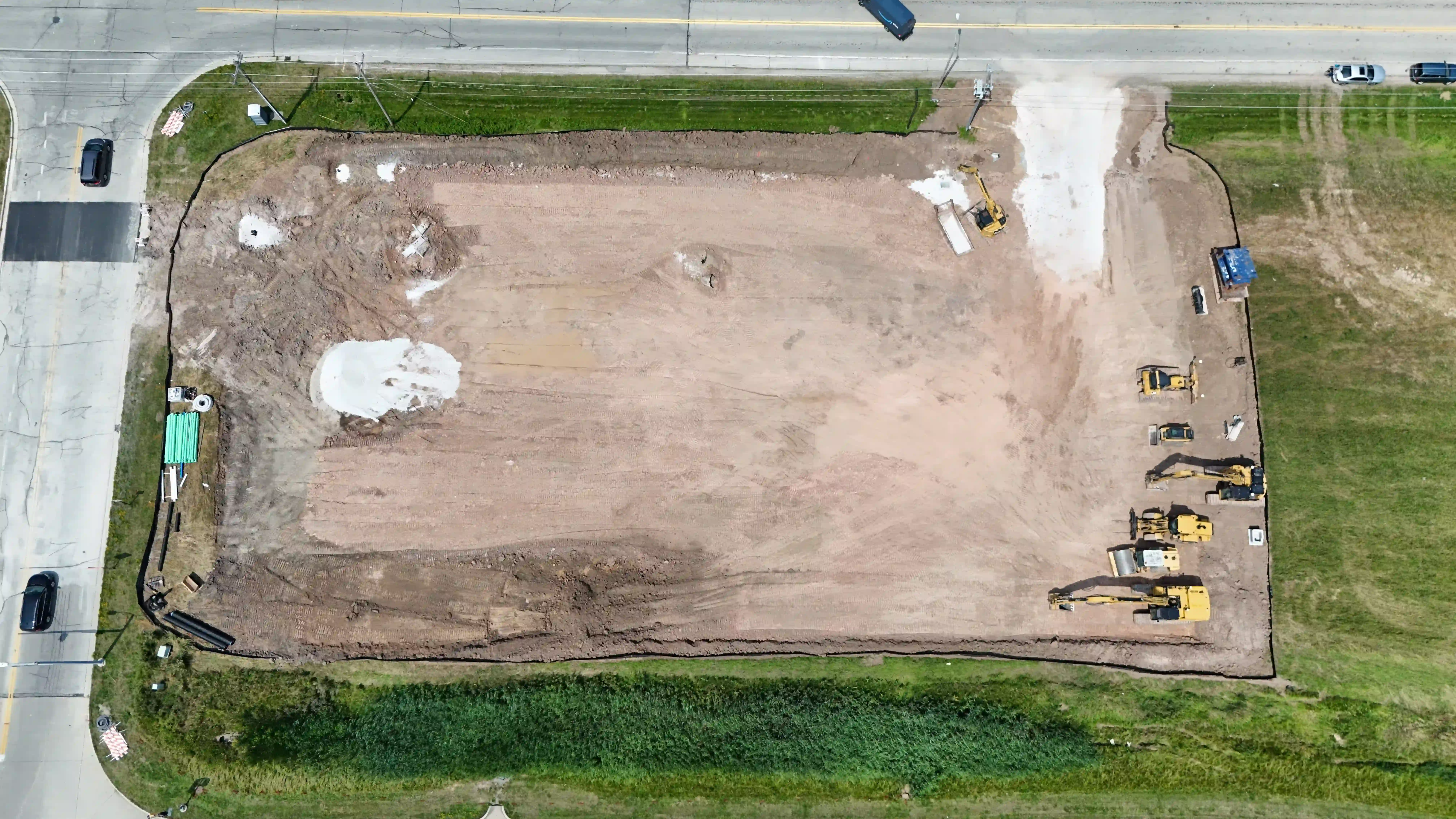
Starting prices reflect the listed package. Final pricing depends on project scope and location. Travel and additional work are quoted separately. Editing is included unless stated otherwise; airspace authorization is included, subject to approval. Any on-site labor minimum applies only to on-site work, not standalone packages.
Choose a package. Make it yours.
Choose the service and deliverables that fit your project. Request a quote to confirm scope, availability, travel, and final pricing before booking.