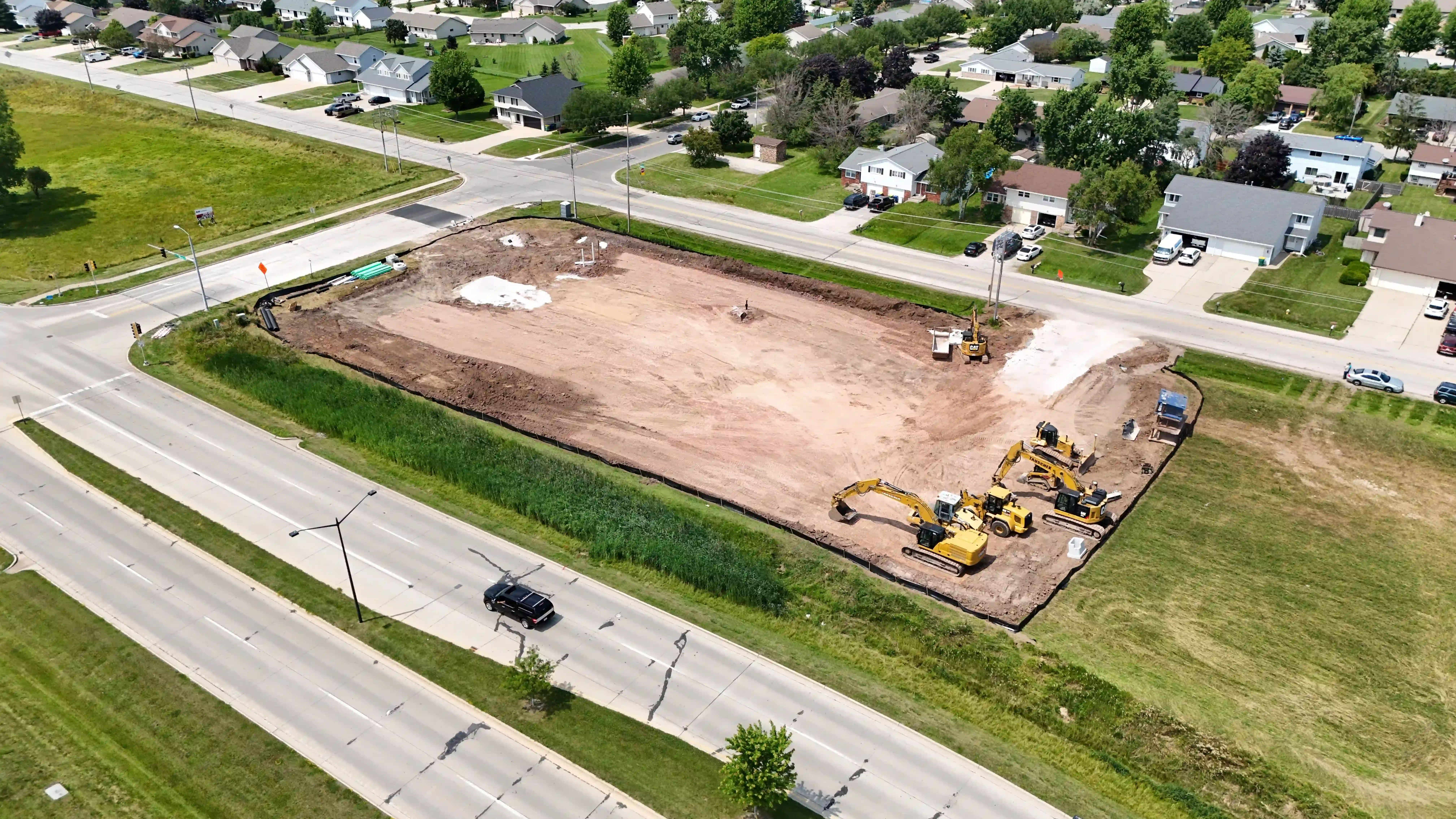
Construction Mapping & Progress Tracking in Chippewa Falls, WI
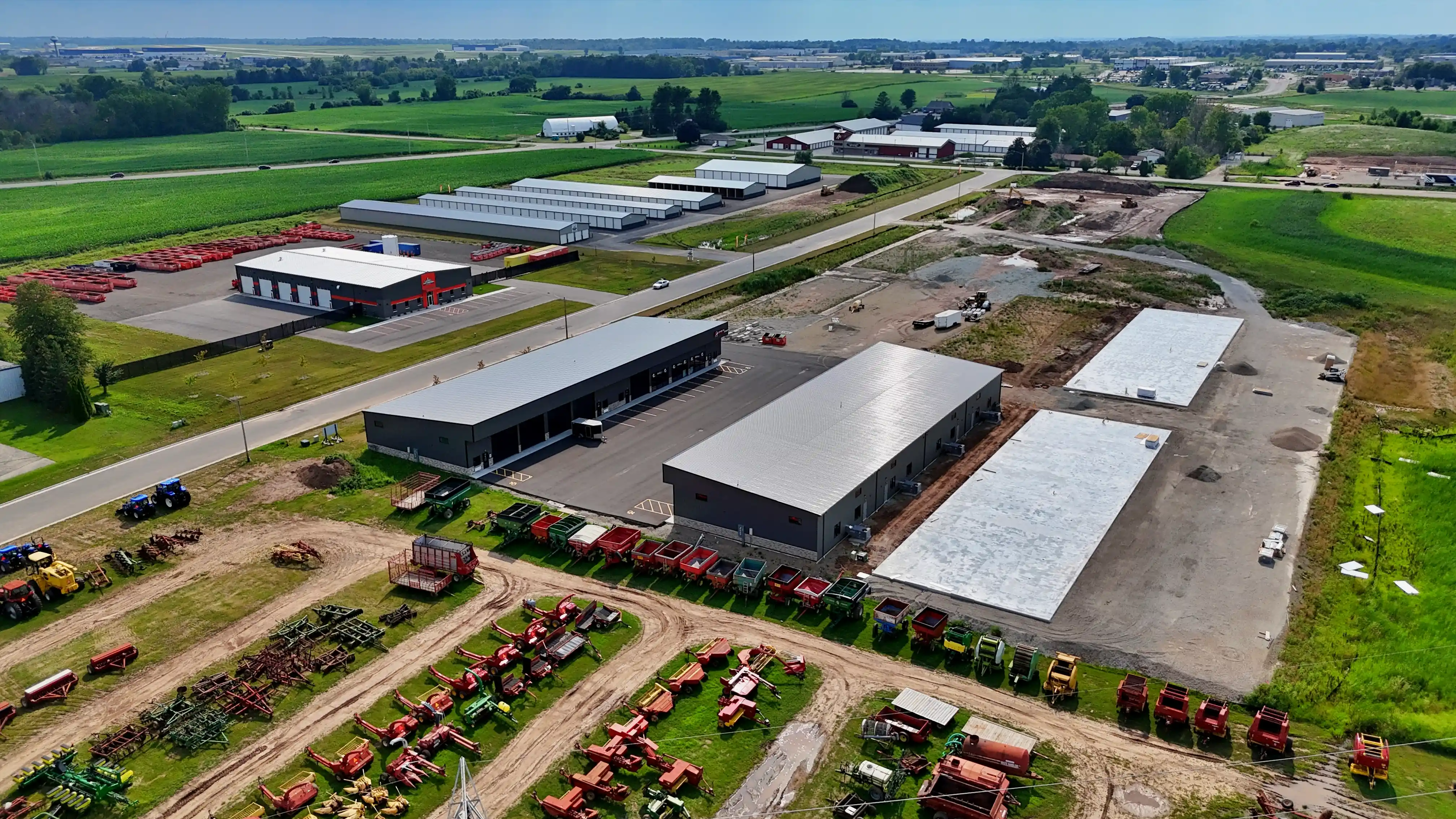
From new commercial development near Eau Claire to residential builds around Lake Hallie, construction activity across the Chippewa Valley benefits from accurate aerial documentation. Our drone mapping services give contractors and project managers a clear overhead view of progress, materials, and site conditions.
Construction Mapping & Tracking
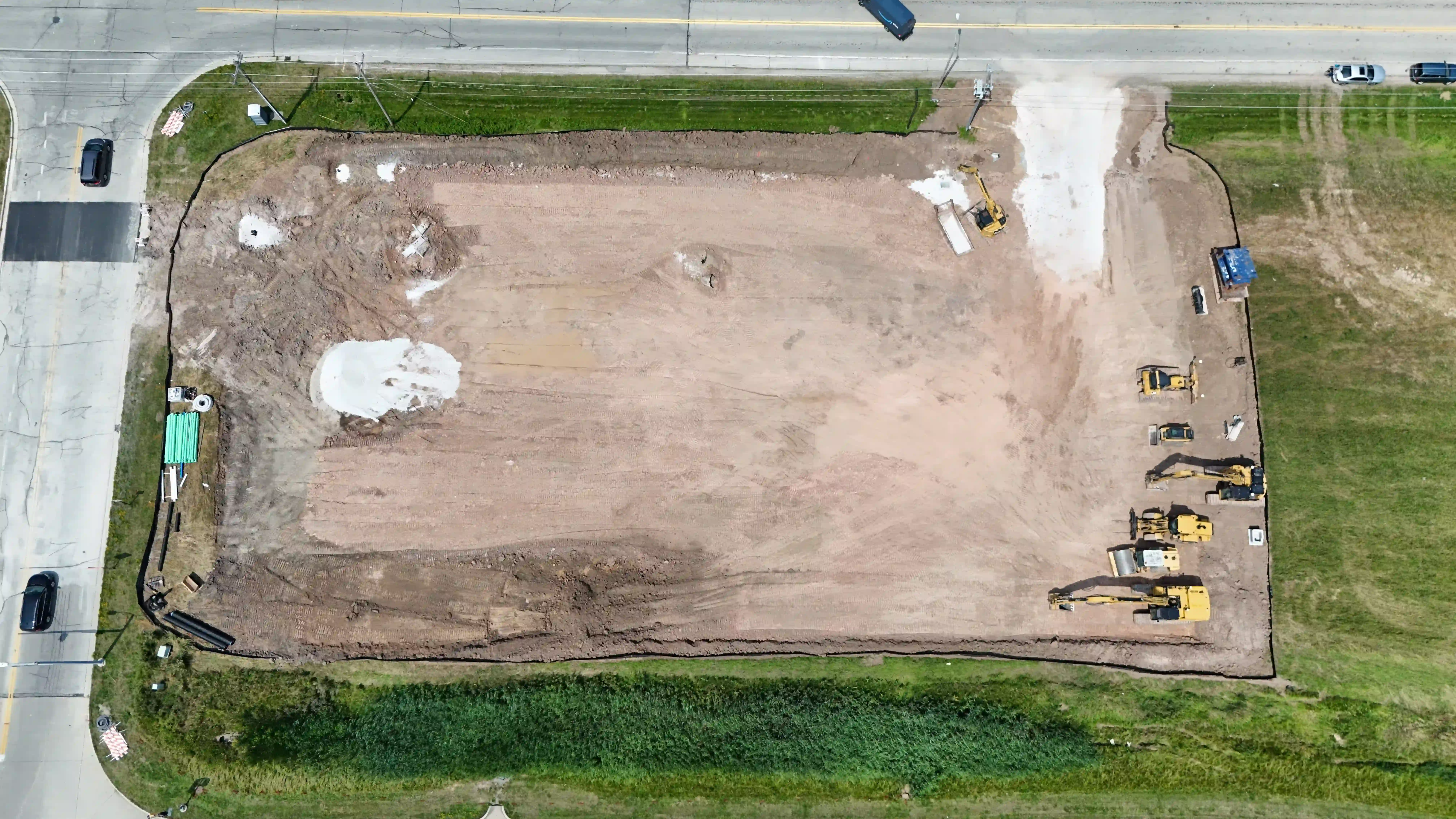
- Aerial site mapping and orthophoto maps
- Progress documentation across project milestones
- Stockpile estimates for aggregate and material yards
- As-built documentation and comparison to design files
- 3D site models and visualizations
- Deliverables provided for informational and planning purposes
Monitor your Chippewa Falls job site with accurate aerial data collection. Our mapping and modeling outputs help contractors, developers, and project managers track progress and communicate clearly with stakeholders.
Local Pilot Serving Chippewa Falls
Your project is flown by Kollin, a FAA Part 107 certified remote pilot serving the Chippewa Valley. Kollin is an independent contractor operating under the LTDS brand, bringing local knowledge and professional drone operations to every flight.
Service Area
We proudly serve Chippewa Falls and surrounding communities including Eau Claire, Lake Hallie, Bloomer, Cadott, Stanley, and Cornell. If you are located elsewhere in Chippewa County or the greater Eau Claire area, contact us — we likely cover your location.
Ready to Get Started?
Contact us today for a free quote on your construction mapping & progress tracking in chippewa falls, wi project in Chippewa Falls.
Get a Free Quote Call (920) 949-1651Call (608) 863-2818